Description
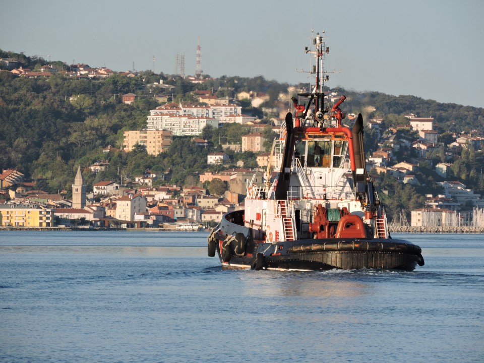
The bay is occupied by a series of major industrial sites, including the terminal of the Transalpine Trieste – Ingoldstadt oil pipeline, which sees the arrival of large oil tankers berthing at the end of the jetties. The Servola steelworks and Arsenale Triestino San Marco (Fincantieri) shipyards are also located here. It is the most northerly of the typical drowned “valloni” of Istria: valleys running in a northwesterly/southeasterly direction to be found along all the eastern Adriatic coast. In this case, it provides an outlet for the Rosandra and Ospo torrents. The Muggia “vallone” used to be a sort of natural nursery for raising mussels and oysters on poles, and was also fished and used to produce salt. With the industrial development of the mid-nineteenth century, which saw the construction of the Rizzo breakwater, and then with the industrialisation of Zaule after the Second World War, the bay was transformed and today only the part of the southern side is still wooded and cultivated with olives and vines, although some traces of the old cultivation can still be seen in the area of Monte San Pantaleone. Near Punta Olmi, it is possible to discern some areas of coastline formed of flysch, now separated from the sea by the coastal road. Immediately beyond the border with Slovenia, at Debeli Rtič (Punta Grossa), this type of coastline becomes common.

